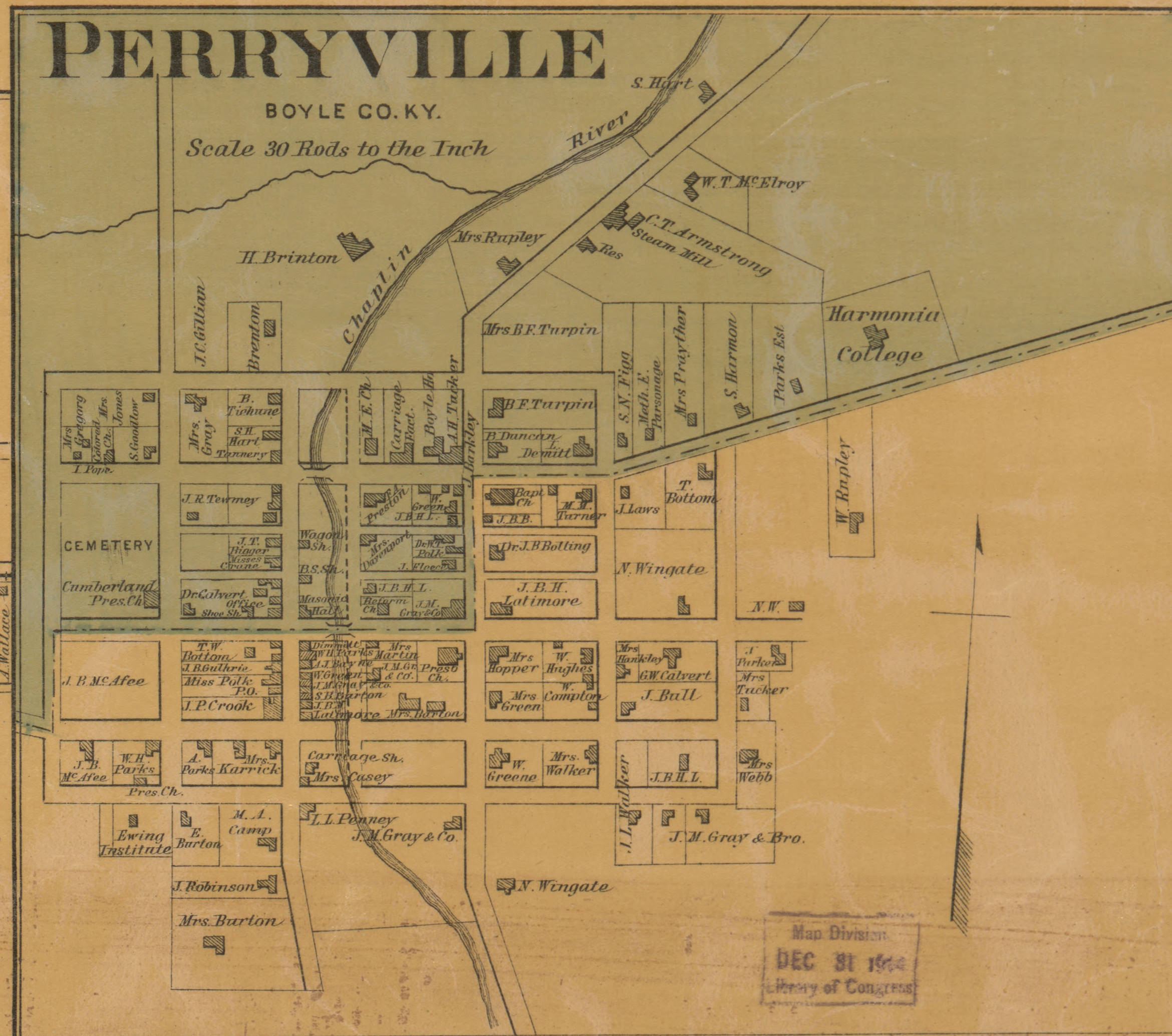
In WDS Chickamauga the town of Perryville is made up of roughly 42 Town Hexes. Perryville had a population of roughly 400 people in 1862.
In WDS Gettysburg the town of Gettysburg is made up of under 30 Town Hexes. Gettysburg had a population of roughly 2,390 people in 1863.
In WDS Chancellorsville the town of Fredericksburg is made up of about 60 Town Hexes. Fredericksburg had a population of roughly 5,000 people in 1862.
In WDS Vicksburg the town of Jackson, Mississippi, is made up of about 80 Town Hexes. Jackson had a population of roughly 3,200 people in 1863.
Does any of this really matter? Towns can "sprawl" out in various directions depending on density and land property sizes. It just came to me the other day as I was looking at Gettysburg on the map and wondering why it seems so much smaller than Perryville.
I'd have to take the time to look at historical maps and town boundaries to figure out whether the WDS boundaries are accurate or not. Not something I have time to do. But in case anyone is looking for a project some weekend... there you go!