
The Danube River, looking upstream (southwest) from near Grossberg, about 6 km southwest of downtown Regensberg (Ratisbon).
Dan51
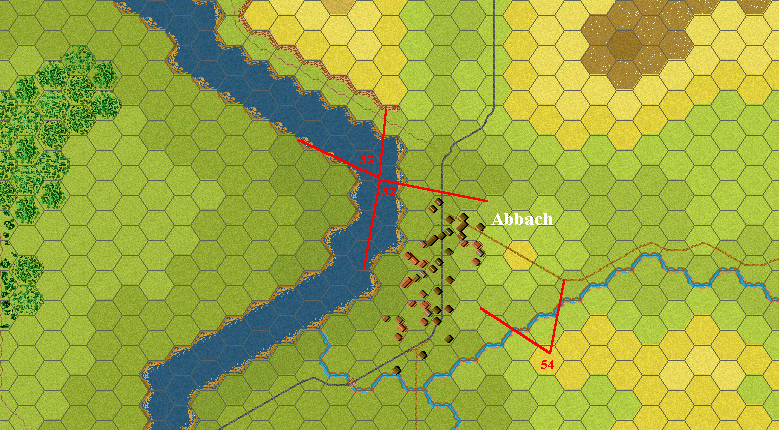
Photo locations at Abbach

Looking northwest (downstream) from the Danube footbridge at the north edge of Abbach.
Dan53
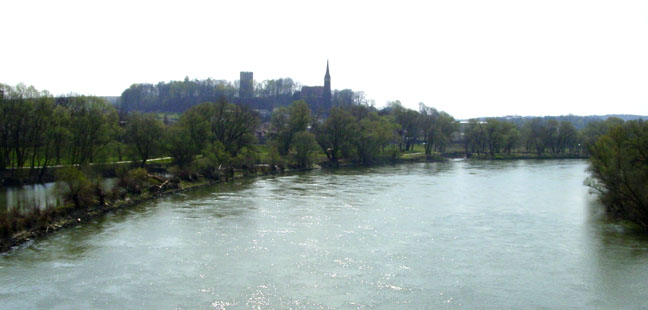
Looking southeast toward Abbach from the Danube footbridge at the north end of the village. Note church steeple and castle keep.
Dan52
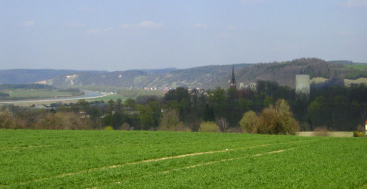
Looking northwest over Abbach and the great bend of the Danube, from the hill southeast of the village. Again note church steeple and castle keep.
Dan54

Rocks, road and river: The Teufelsfelsen (Devil's Cliffs), narrowest point of the Saal Defile. From the cliff to the river's edge is just 22 meters at this point, paced off in person by your Editor.
Dan55