Thanks guys for the quick feedback. I guess I was more hoping the setting would allow the change from standard to alternate terrain or back and forth based on the weather line in the .pdt file. Like Ken mentioned, it was probably set during the programming and was not used and left with the default as "0".
As my large scale map covers the entire eastern US I was hoping to have the seasonal changes be seen with some graphic changes with the weather updates. I was hoping to have the higher elevations transition to a bit of snow and have the lower elevations change from the green to fall/winter brownish style. As there was already the full foliage and fall tree graphics I was going to use those to switch back and forth as well. I guess at this point it won't be an option.
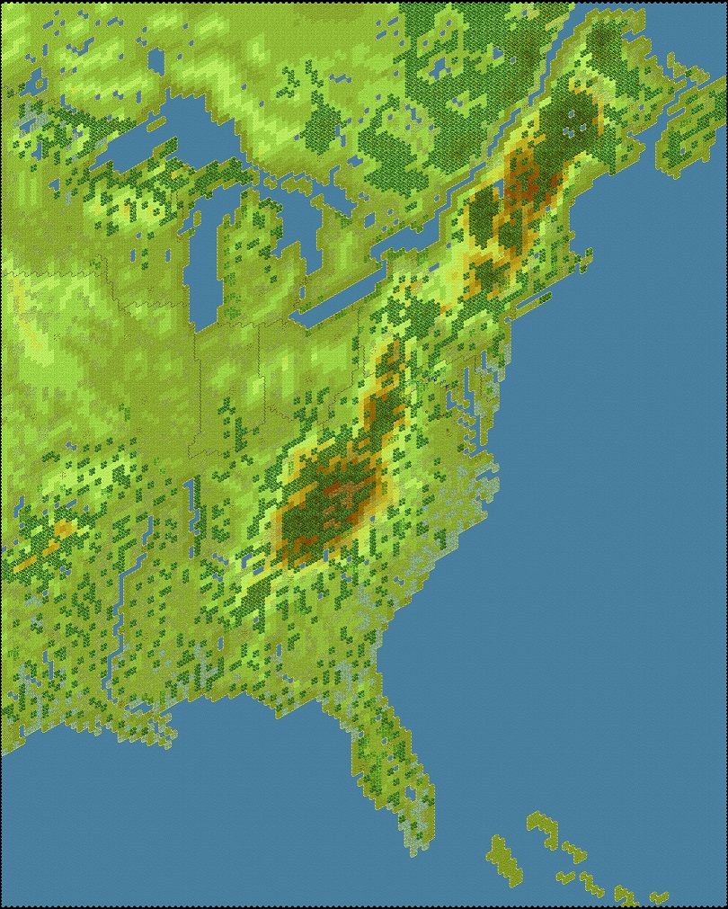
To get an idea of the scenario I'm designing. It's a Division scaled scenario covering the complete civil war (using all the OOB's from BGS, HPS and JT combined). It has been an ongoing project for some years now; which is final getting close to completion. Here is a view of the map at some earlier stage...
Thanks again for letting me know.
Lieutenant Colonel Derek Hampel
Fifth Infantry Brigade
Second Div., XV Corps
Army of the Tennessee