With Little Round Top having been closed for a few months now, I had the chance earlier this month to finally hike towards the side of it from the Emmitsburg Road, as opposed to just driving past it in the front along the park roads. For anyone who has visited the battlefield, the touring road, South Confederate Ave, crosses the Emmitsburg Road at the bottom of the battlefield, right near the Eisenhower Farm entrance. There's a bathroom stop and a picnic area there. It's also where most of Hood's Division units have their Brigade/Regimental markers & monuments. South Confederate Ave is a two way road for several hundred yards and then becomes a one way that meanders for well over a mile from Warfield Ridge where Hood's units started off from, down along Bushman Hill & the 3rd Day's Cavalry Charges of Farnsworth, William Wells, etc., up the long slope with Big Round Top on your right, to the parking lot at the base of Big Round Top. Then along a few gradual curves to where it meets up at the intersection that's at the side of Little Round Top where the 20th Maine, 83rd Pennsylvania, Strong Vincent and Law's Brigade monuments & markers are. At this point everything is fenced off for the restoration work. From where the one way begins to this point, the road is closed to cars. It's open to hiking & biking though. I took the rare opportunity to enjoy hiking the road without cars on it for once. It was a neat experience and here's some photos of the work being done.
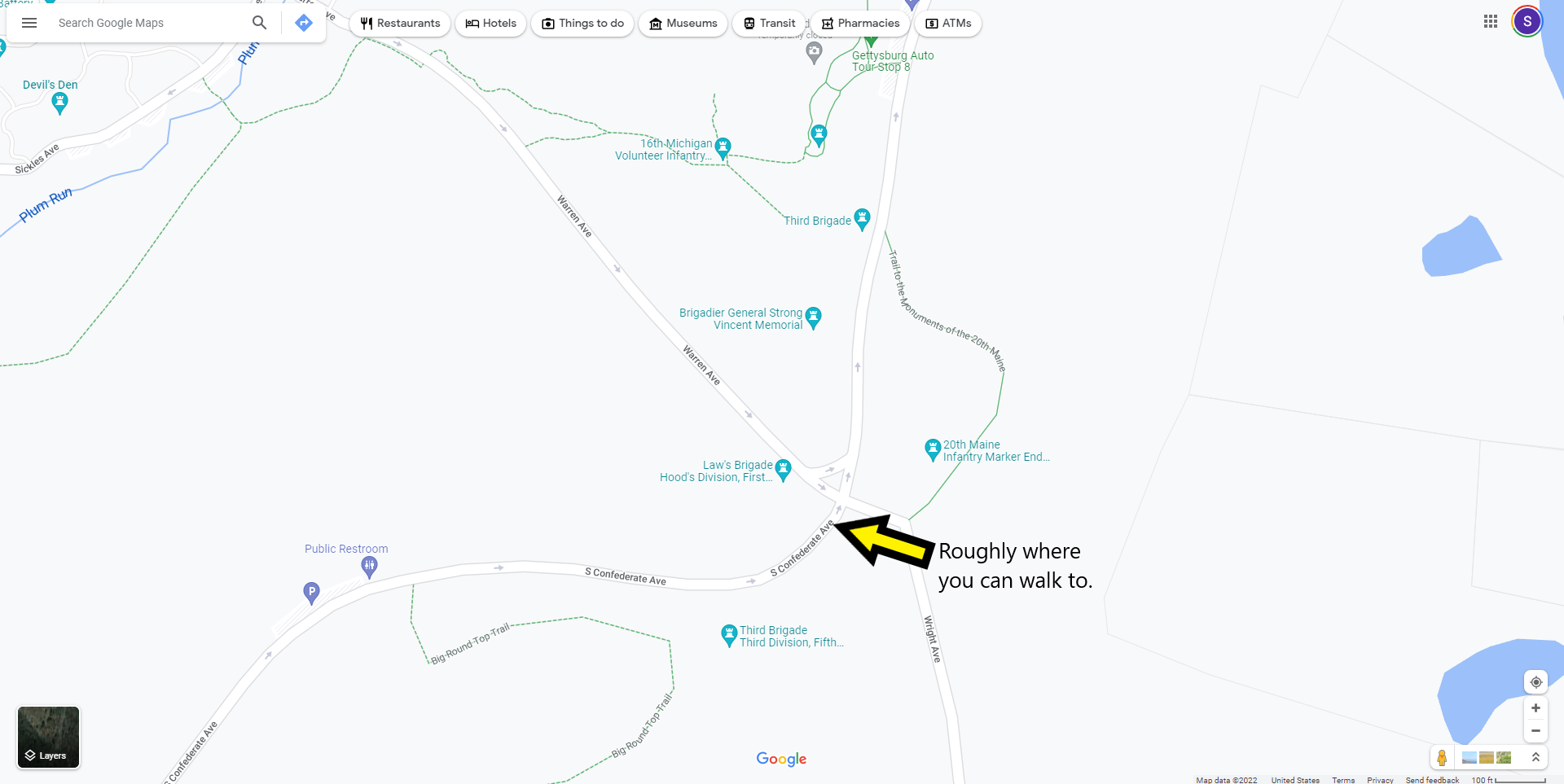
Google Maps image of roughly where I was standing for the photos.
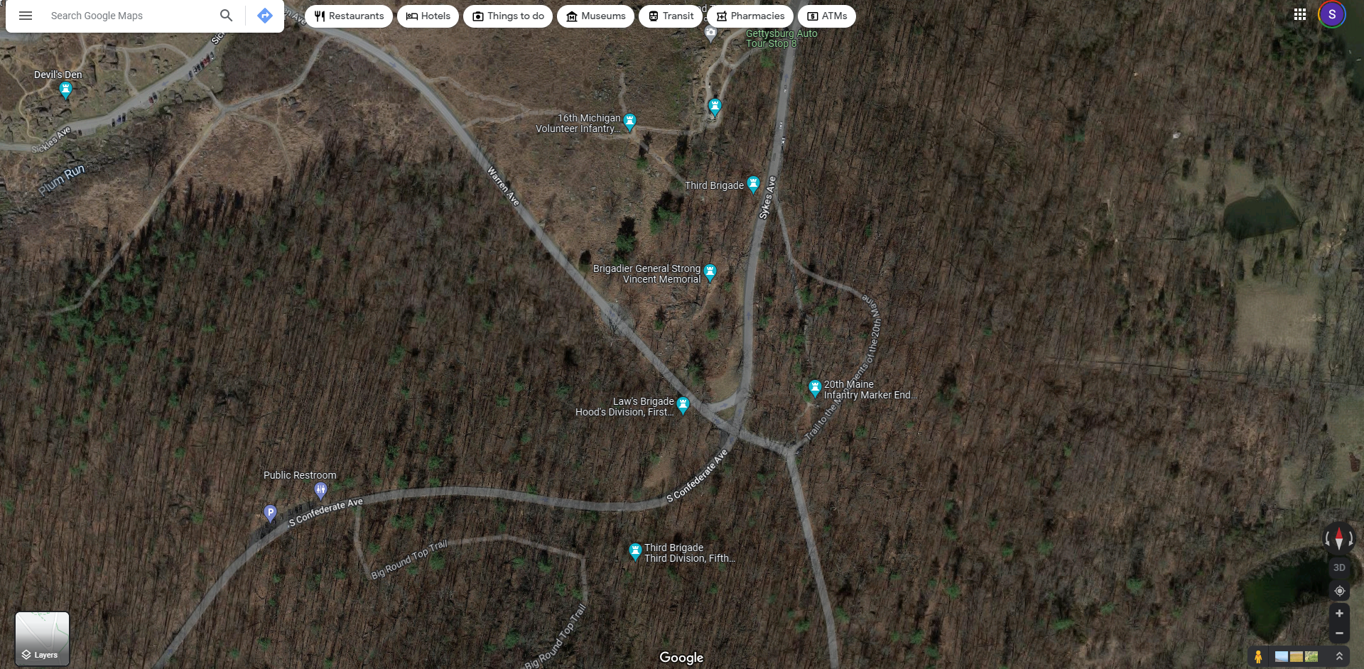
Google Maps terrain image.
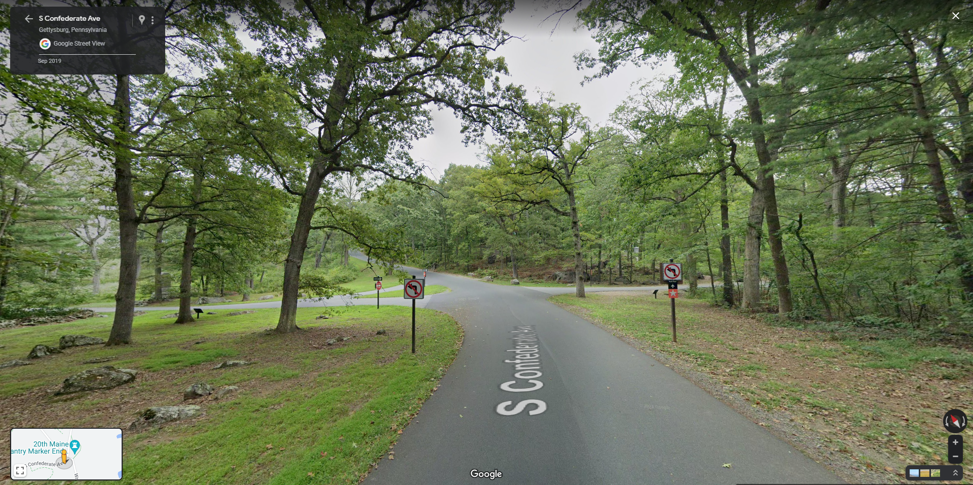
Google Maps Street View image, which might be more familiar to folks w/the trees having full leaves.
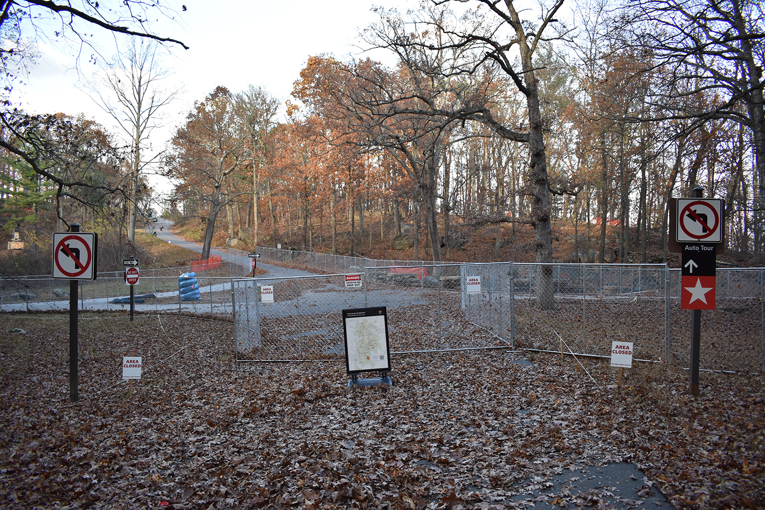
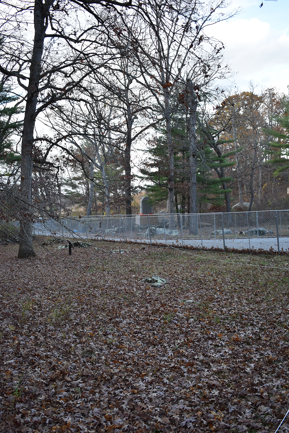
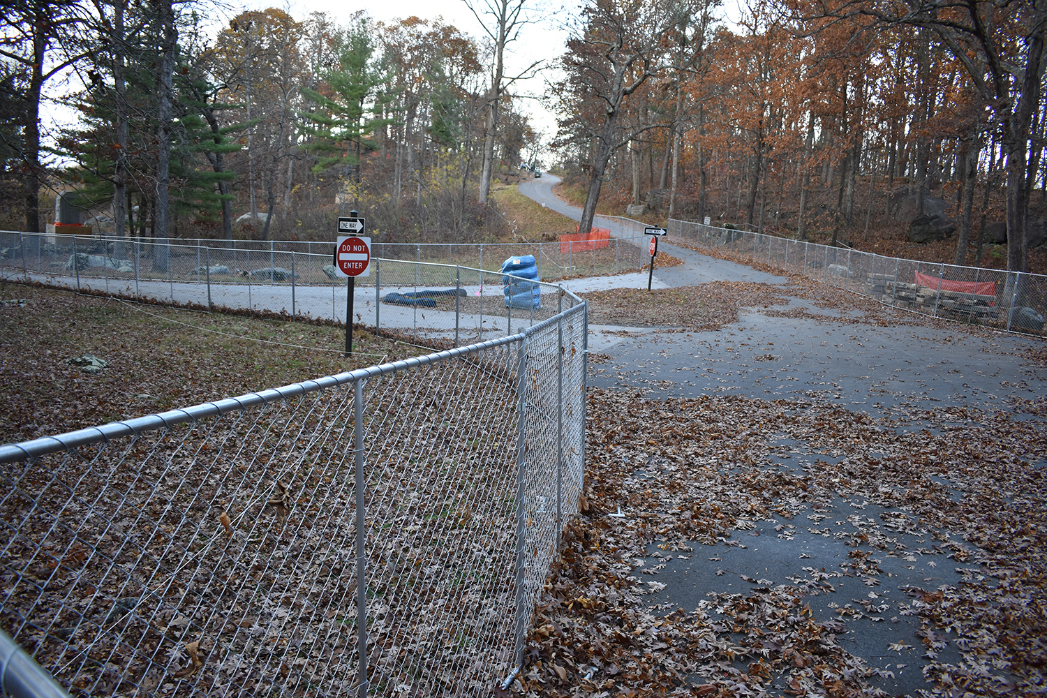
Intersection marked off with fences and closure signs, etc.
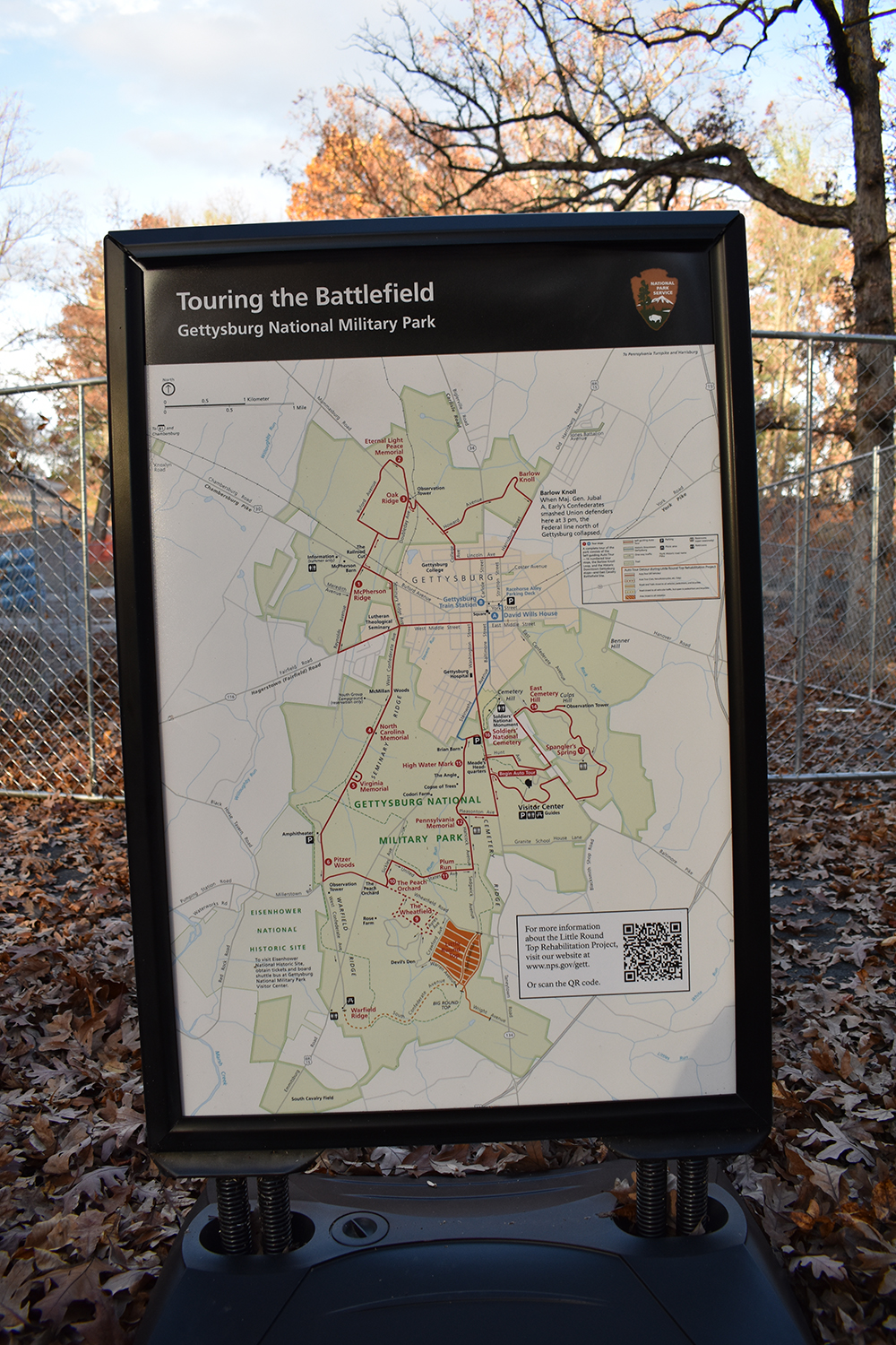
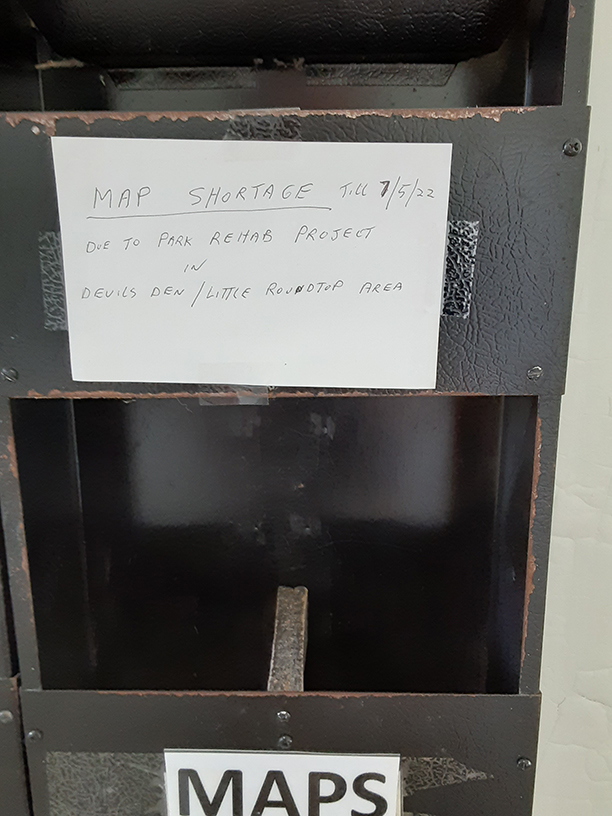
Parks Service map showing the closure area and impacted roads.
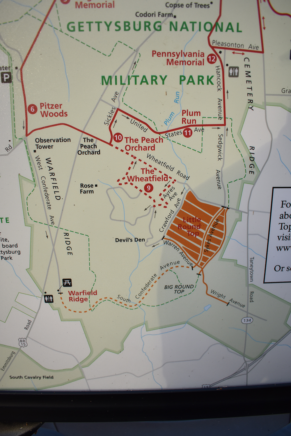
Upclose on the area.
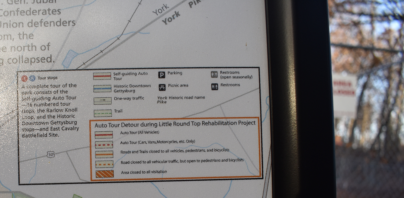
Map key. (Not the most clear image, sorry)
Standing along the fence line, took some photos of the area from left to right. The 83rd Pennsylvania (Strong Vincent's Regiment) would be in the left image and the 20th Maine would be in the right image. I took zoomed in photos of some of the monuments, which is further down on this post.
This is the left image. The 83rd Pennsylvania would have been in more of the right part of the image. The monument that is visible (note the base of it is boarded up) is for the 9th Pennsylvania Reserves (38th Pennsylvania Volunteer Infantry Regiment). The road in this image leads up from Devil's Den.
The 9th Pennsylvania Reserves and 10th Pennsylvania Reserves (39th Pennsylvania Volunteer Infantry Regiment) are both of Joseph Fisher's Brigade (Crawford's 3rd (PA Reserves Div), V Corps)
The center image is the road that takes you to the parking area at the top of Little Round Top. The 20th Maine area is in the woods to the right of the road. The 83rd PA & 9th PA Reserves are in the left woods of the image, as is the crest and overlook area of Little Round Top. It's not easily seen but the 12th and 44th New York monument, the big castle tower, is slightly visible through the pine trees on the left side.
This is the right image that has the area of the 20th Maine & its monument. There's a small parking area where the blue porta potty is on the far right side of the image. The road this all sits on is Wright Ave, which runs down from the Round Tops to the Taneytown Road, in the area of Route 15. This would be the backside of the Union lines and there are a number of field hospitals heading in towards Gettysburg along Taneytown Road. Wright Ave is named after Horatio Wright (1st Div, VI Corps), who had one of his brigades, under David Russell in reserve. Russell's Brigade and Lewis Grant's 1st Vermont Brigade (Albion Howe's 2nd Div, VI Corps) acted as the rear guard & flank units on this part of the battlefield during July 3rd. I did a separate walk on Wright Ave earlier this year that I'll try to post sometime. It is also closed completely from just near Taneytown Road.
The below are the zoomed in photos I mentioned above.
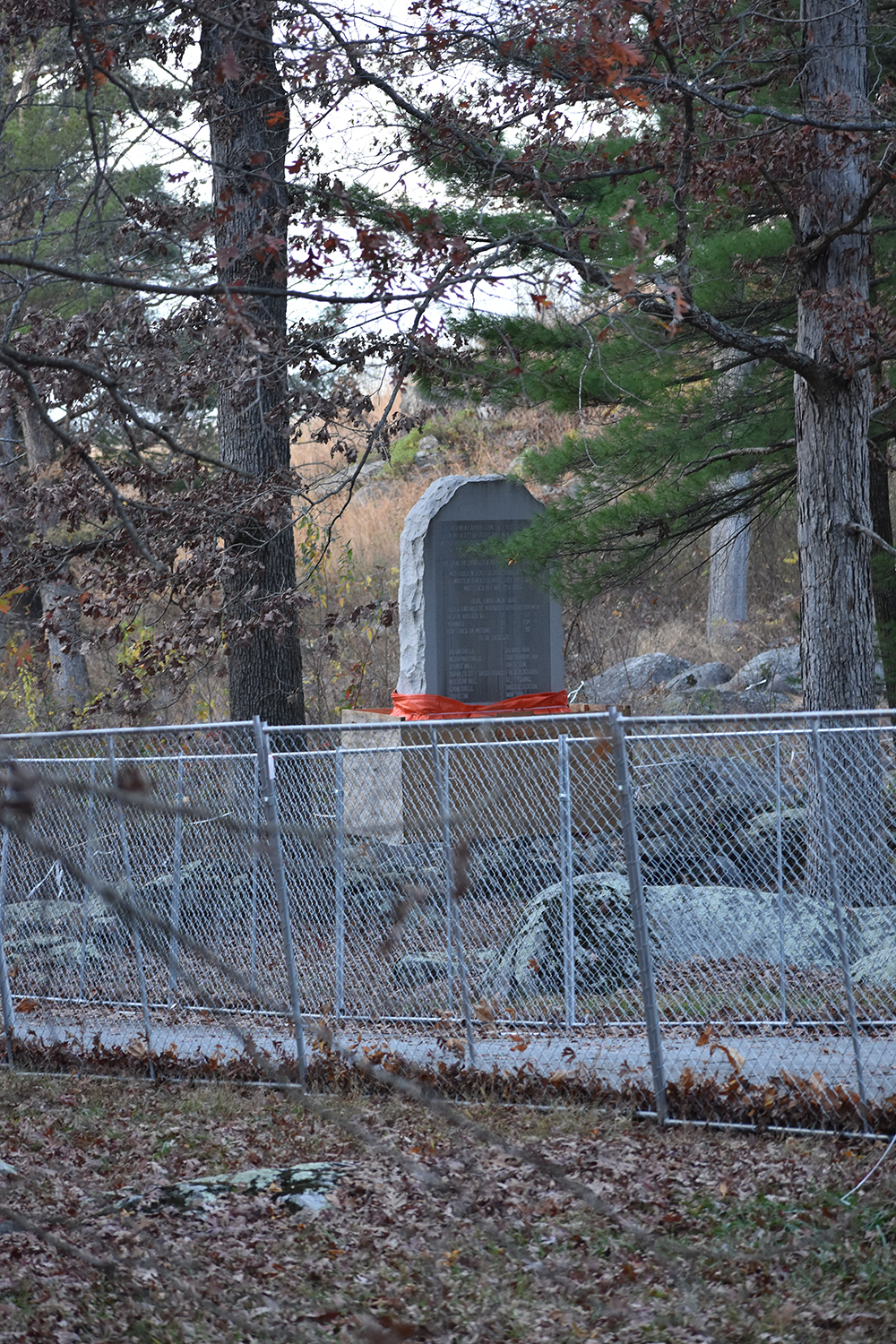
The 9th Pennsylvania Reserves (38th Pennsylvania Volunteer Infantry Regiment) monument wrapped up nicely.
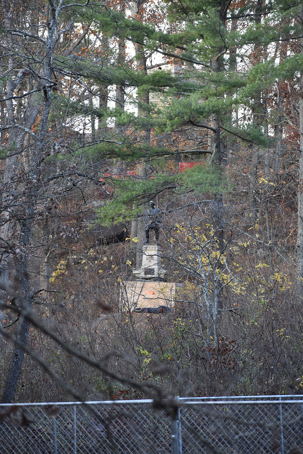
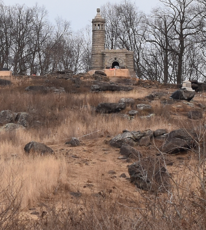
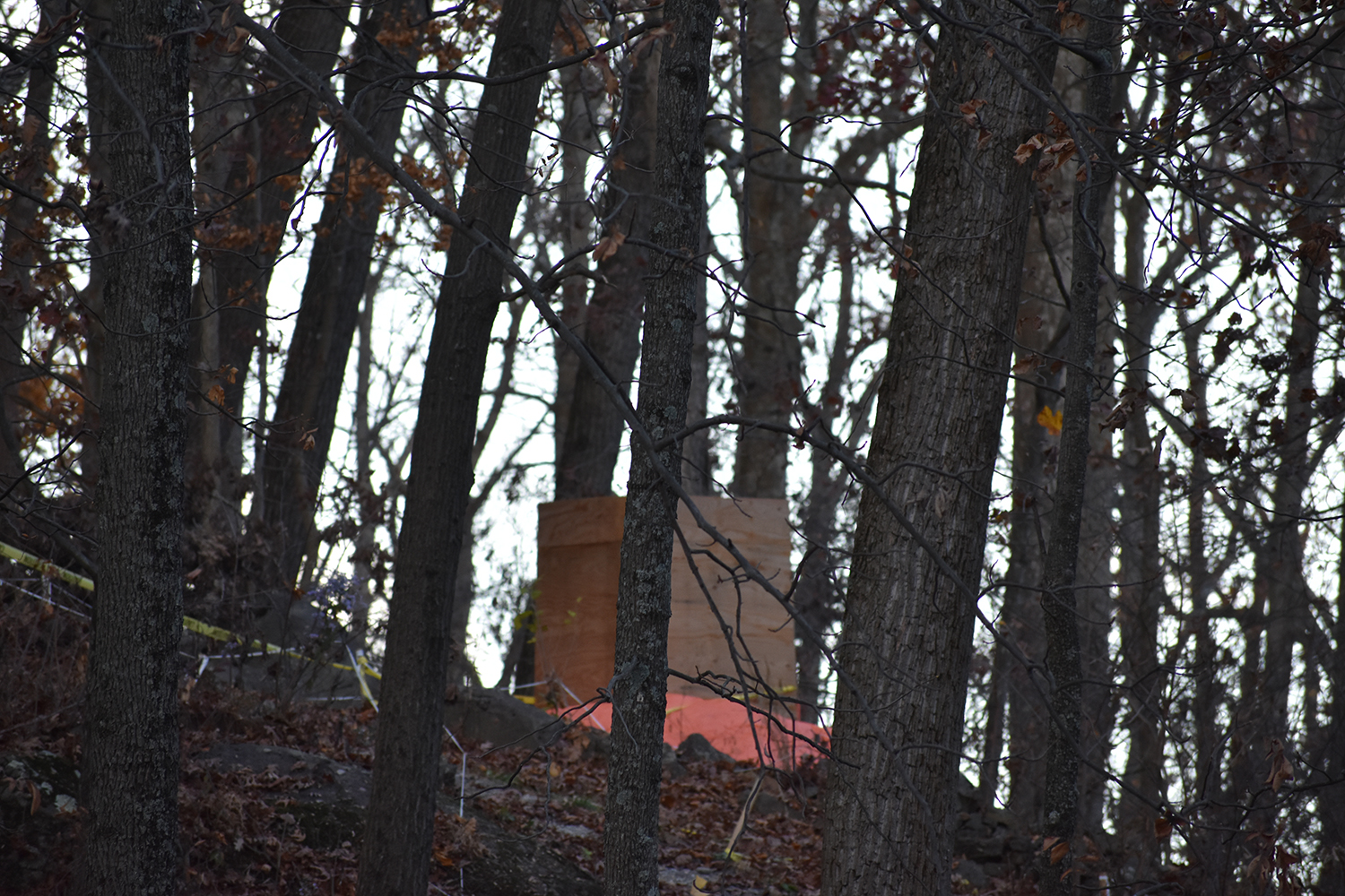
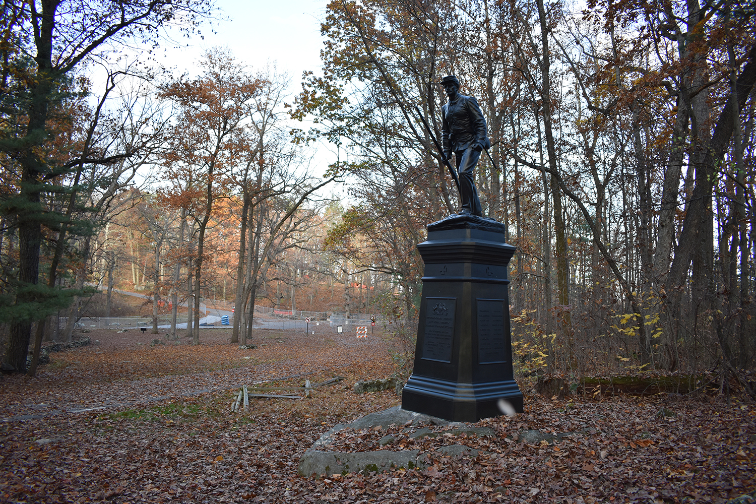
83rd Pennsylvania monument with Strong Vincent on top of it. You might be able to see the 12th and 44th New York monument castle tower through the pines.
20th Maine monument, completely boarded up.
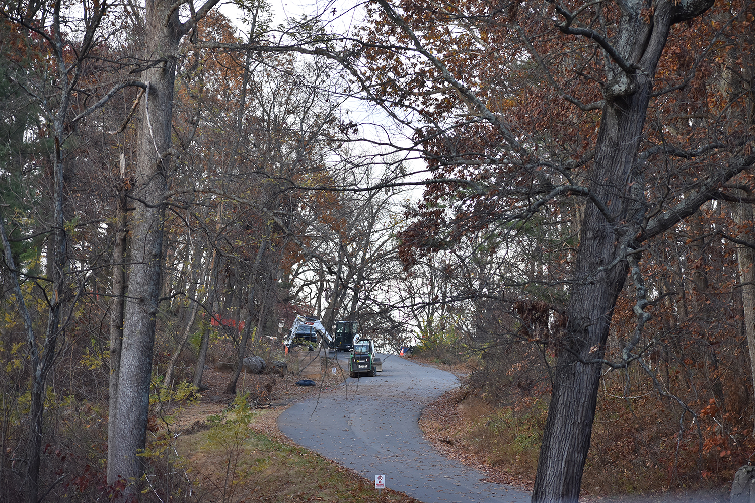
Some of the equipment being used at the top of Little Round Top.
A view just off to the side, more focused on the 20th Maine's area. The right flank marker for the 10th Pennsylvania Reserves (39th Pennsylvania Volunteer Infantry Regiment) is coming out of the leaves on the foreground left.
Below are some additional photos as I was walking away and heading towards the trail to go up Big Round Top, which is still open.
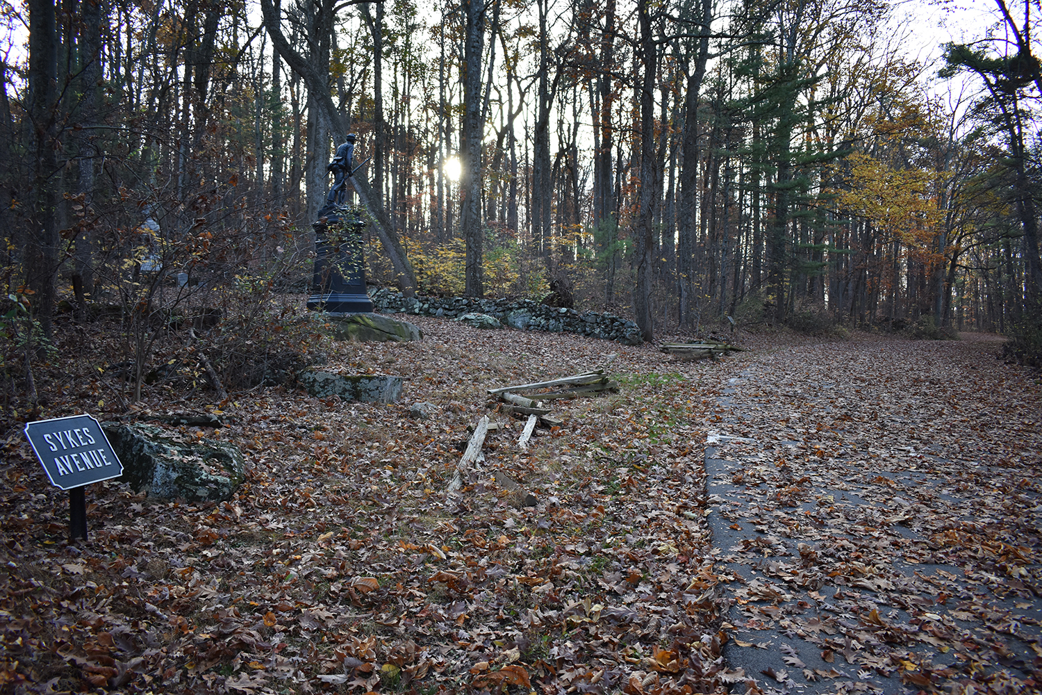
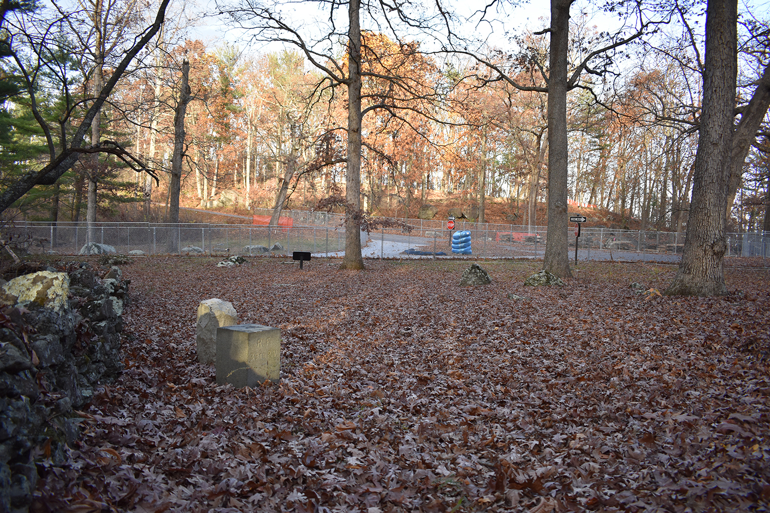
One of the trail heads up Big Round Top starts right behind these monuments. This one is for the 10th Pennsylvania Reserves. The sun is shining through the trees as well. Also note the Sykes Ave sign. South Confederate Ave turns into Sykes Ave around the intersection.
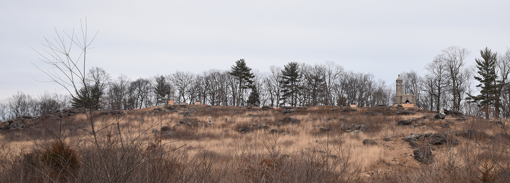
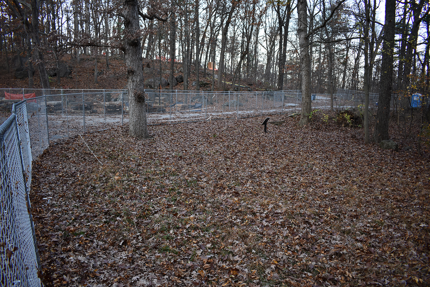
Turning around at the 10th Pennsylvania Reserves monument to get a wider view of the closure area and intersection.
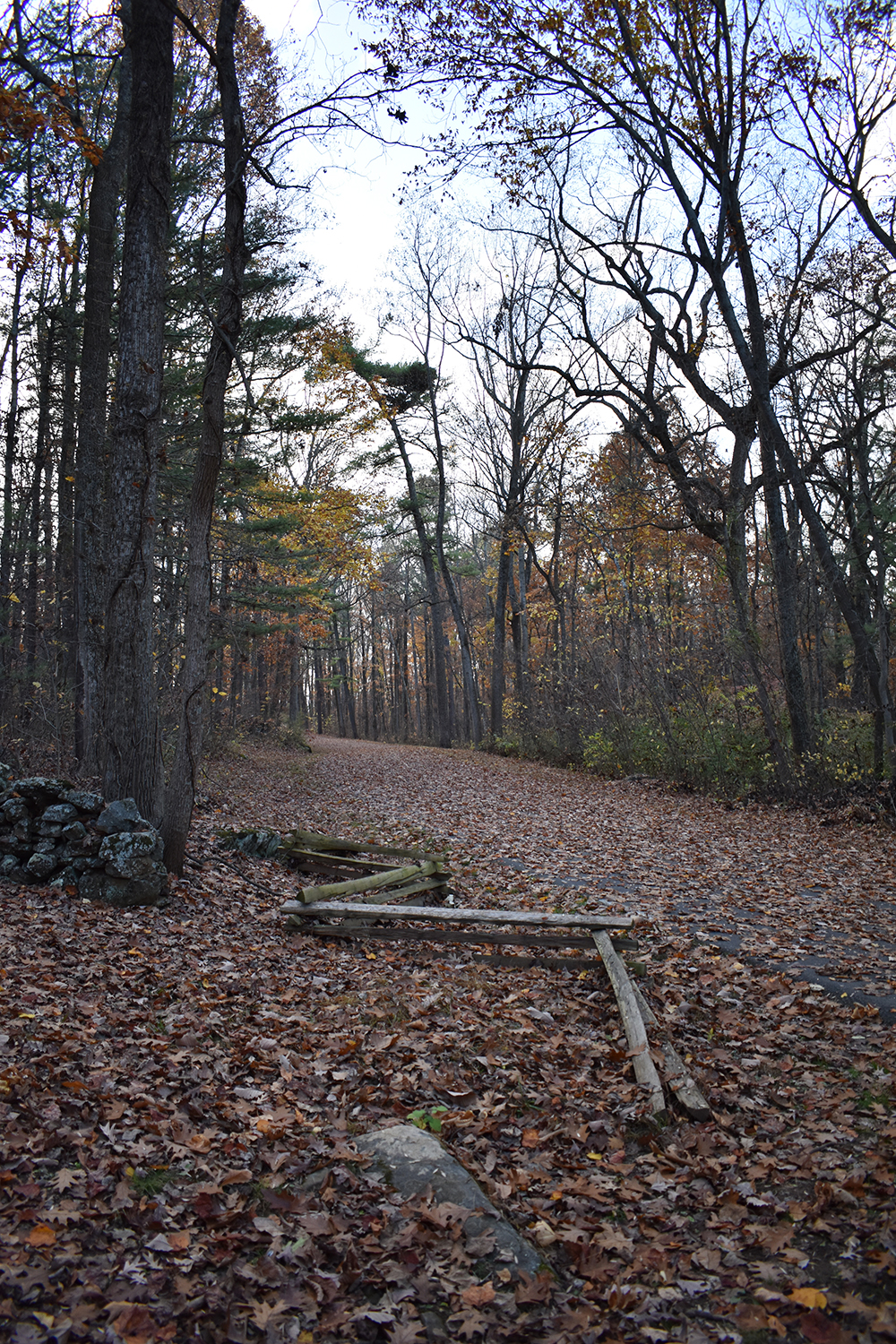
This final image is looking from right by the 10th Pennsylvania Reserves monument, away from the closure area, towards the Big Round Top parking lot. Most of South Confederate Ave was not cleared of leaves, which was really a neat experience and I captured that in a few images. I have others from the hike that I'll share later. Now I can't wait to do it in the snow!
_________________
General Scott LudwigLudwig's Light Division
Isgro's Corps
Army of Northern Virginia (ANV)